
Otherwise known as Susan’s (and Anna’s) Birthday Ride, this will be a long, but epic day.
For those that may have been living under a rock, Highway 1 has been closed at Pfeiffer Canyon Bridge to the north, and Mud Creek to the south, bracketing some 35 miles or so of spectacular coastline highway. Although cars can still get through via Nacimiento-Fergusson Rd, it’s a long detour that most wouldn’t make just to visit this stretch of road.
Earlier this year, a “Community Bypass Trail” was built for locals to get past the Pfeiffer Canyon Bridge closure and continue with their day-to-day lives (including kids walking to school). This trail has since been opened to the public, but the new bridge is scheduled to open on 9/30, so soon the roadway will return to normal (although the Mud Creek landslide likely won’t open until mid-2018.
The plan is to carry or walk our bikes on the Community Bypass Trail to access the roadway beyond the closure. From here, it’s roughly 37 miles of rollers with very limited traffic to the Mud Creek landslide. At this point, we’ll grab lunch, turn around and head back north to our cars and Susan/Anna’s birthday dinner.
We’ll park at the Pfeiffer Big Sur Park Day Use lot, which will cost $10/car and is open a half-hour before sunrise, and a half-hour after sunset. From there, we’ll access the trail. People should know that the trail has been described as strenuous, although it’s only a half-mile or so.


Preparations
To get ready for this ride, it’s basically just like any of our away rides, with the exception of everything you need for the hike-a-bike section. Here’s some quick tips:
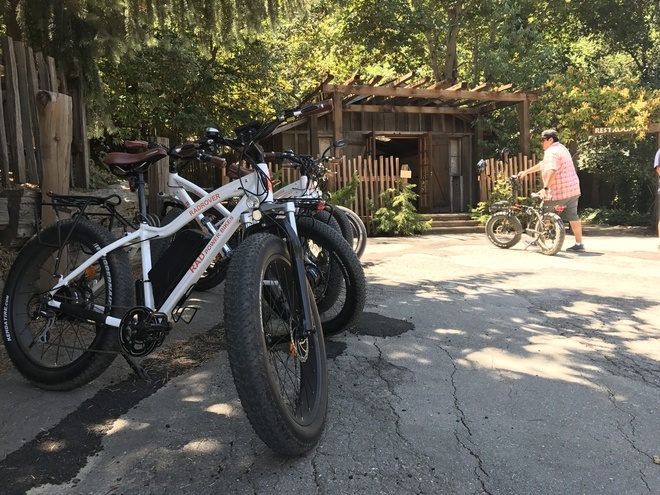
- Non-bike shoes: I would recommend wearing another pair of trail shoes for the hike, unless you ride in mountain bike shoes. We can stash our shoes behind a tree for the return hike. There’s also an e-bike rental place south of the trail; maybe they would be willing to watch our stuff for us.
- Remove water bottles: It’s harder to shoulder your bike when the water bottles are in place, as this leaves less room for your arm to pass through the frame. I would recommend bringing a cheap cinch sack, like the ones they give away as freebies, to carry your water bottles and cycling shoes on the hike
- Frame pad: I’m planning on putting a piece of pipe insulation (or a section of swim noodle) on my top tube/down tube so that the frame isn’t resting solely on my shoulder, but I’ve got bony shoulders, so others may not have a problem. I’ll leave it in my cinch sack with my trail shoes.
- For those of you that want to get fancy (tattoos optional)

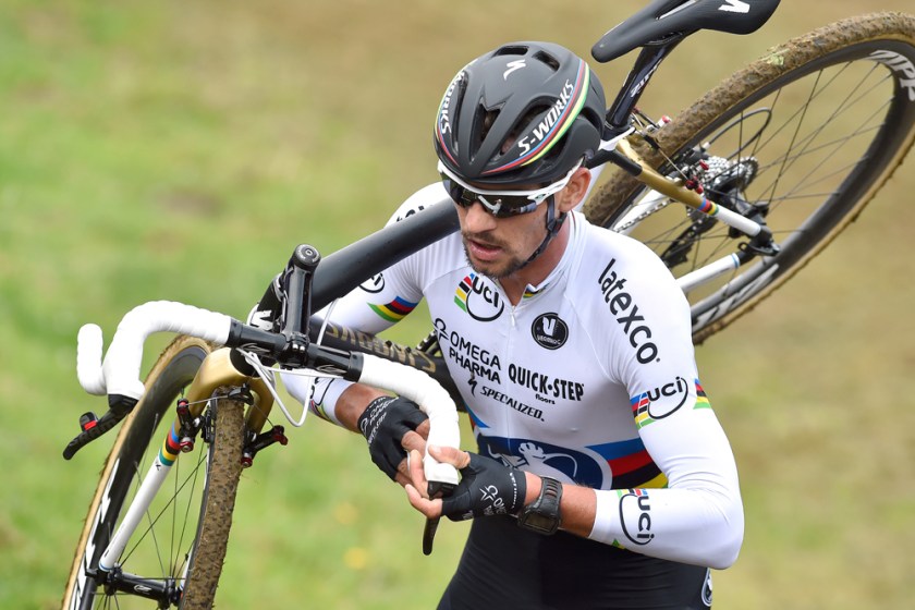
- Make sure your bike is in good shape: If someone has a mechanical, there won’t be anybody driving by to assist. The only way in is a LONG detour, so if your bike needs a tune up or inspection, get it done before the ride.
The Ride
As for the ride itself, there’s surprisingly about 7200 ft. of elevation for the roughly 74 mile ride. There’s no real extended climbs, but plenty of 200 to 400 ft. “bumps” to keep us occupied. Pacelining over all the rollers will be tough, but we should try to stay together as much as possible.
Going south, we should try to hit up all of the vista points along the way for pictures, since they’ll be on our side of the road (although reduced, there will still be some vehicle traffic). There’s also campgrounds and picnic areas that should have bathrooms. Lastly, there’s actually a place to eat lunch near the turnaround point called Whale Watcher’s Cafe; I verified they’re open on Sundays. There’s also a general store by the cafe if we need any supplies, or to refill bottles.
Here’s a tentative list of stops on the way south:
- Grimes Point Scenic Overlook – Mile 4
- Big Creek Cove Vista Point – Mile 19
- Kirk Creek Campground (potty stop) – Mile 27
- Big Sur California Panoramic View – Mile 34
- Whale Watcher’s Cafe – Mile 36
The Mud Creek landslide (turnaround point) is about a mile past the Whale Watcher’s Cafe. There’s also a LOT of big turnouts I can see on Google maps that I’m assuming are for informal picture taking, so we can play it by ear whether to stop at any of these.
Heading north, we’ll likely just ride straight through, maybe stopping back at Kirk Creek for bathroom break. Marty’s suggested Nepenthe for Susan’s birthday dinner; I’ve heard the ambrosia burger is delicious, but it may be too early for dinner, plus we’ll be in our kits, which may not be the most comfortable dining attire. We’ll have to play it by ear.
Ride Roster
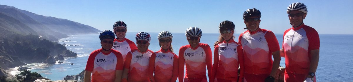
Here’s the current list of Dips planning on joining in on this ride:
- Marty
- Susan
- Jorge
- Steve
- Mike B
- Mike G
- Mike W
- Ron
- Anna
- Donna (Anna’s friend)
- Eduardo
That’s probably it for now, but we can finalize any other details when we meet at the Goose.
